TNA Watershed Restoration Survey Day 2025
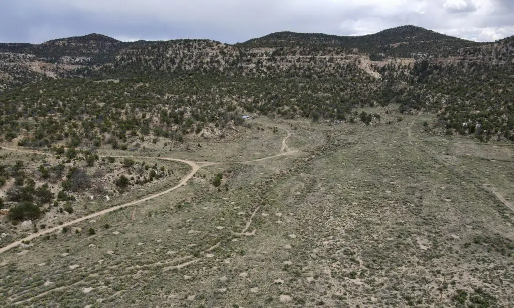
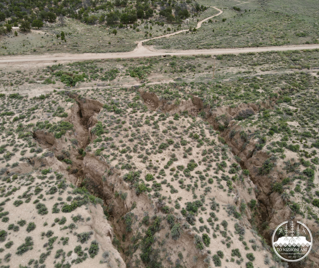
The 2025 watershed restoration season with Tó Nizhóní Ání has begun! On June 10th and 11th, the TNA watershed restoration crew began surveying in the locality of what is known as the Niinahnízaad area, with the Black Mesa/Kits’iilí Chapter community. The exact name of this watershed work area is still being discussed; therefore, we will refer to this area as “Niinahnízaad” for the time being. Watershed restoration activities in one of the headwaters of the Little Colorado River within the Oraibi Wash Watershed are supported by Diné residents and the Black Mesa/Kits’iilí Chapter. Local Kits’iilí resident Daisy Kiyaani learned about our land restoration efforts through the Tsiyi’ Tó Watershed Pilot Project wrap up presentation at a Black Mesa Chapter meeting. Noticing the need for restoration in her local area, she offered to be the host site of our first watershed restoration within the Black Mesa/Kits’iilí Chapter community. The goal with watershed restoration in this area is to reduce erosion, promote native plant growth, encourage the storage of water while reducing flow velocity in low-lying valleys where head cuts are threatening Indian Route 8066, a main road that residents use to travel in and out of the community.
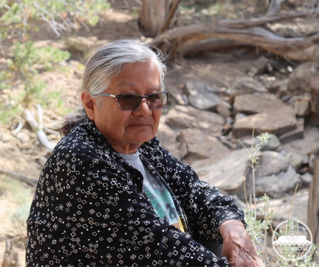
“The reason why we’re stuck here is because growing up here you get used to it. It’s so peaceful. You can see all the formations and landscapes, and it makes you feel good. There were offerings and prayers given to the land for protection and nourishment. Thats how we were brought up… Thats what I like about living out here.”
-Daisy Kiyaani, Hashk’aan Hadzohí Dine’é
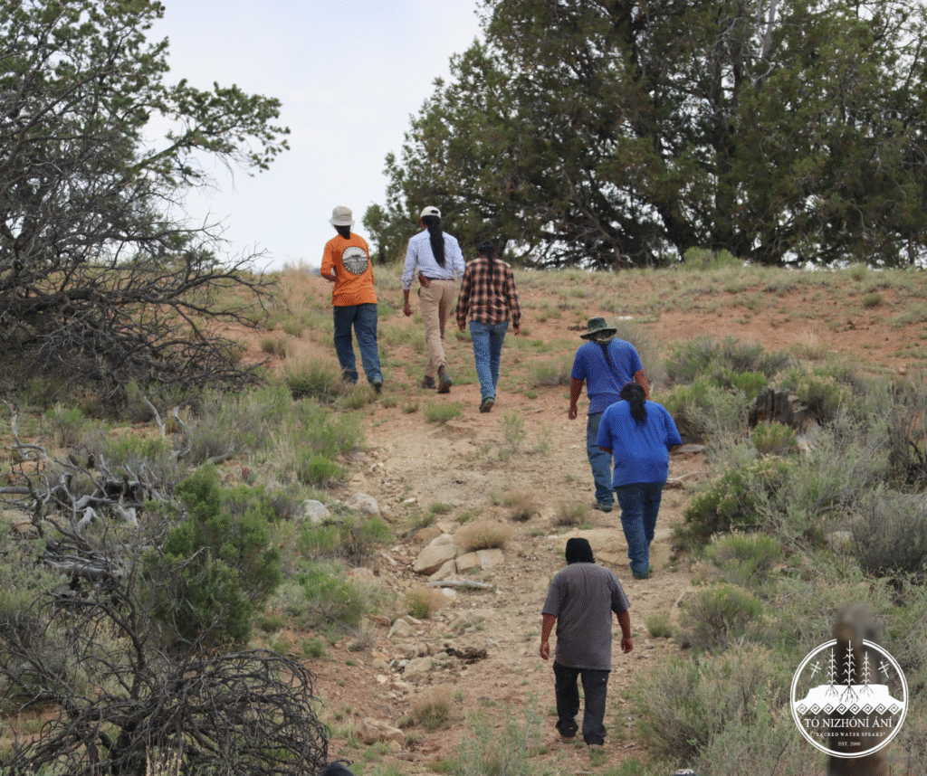
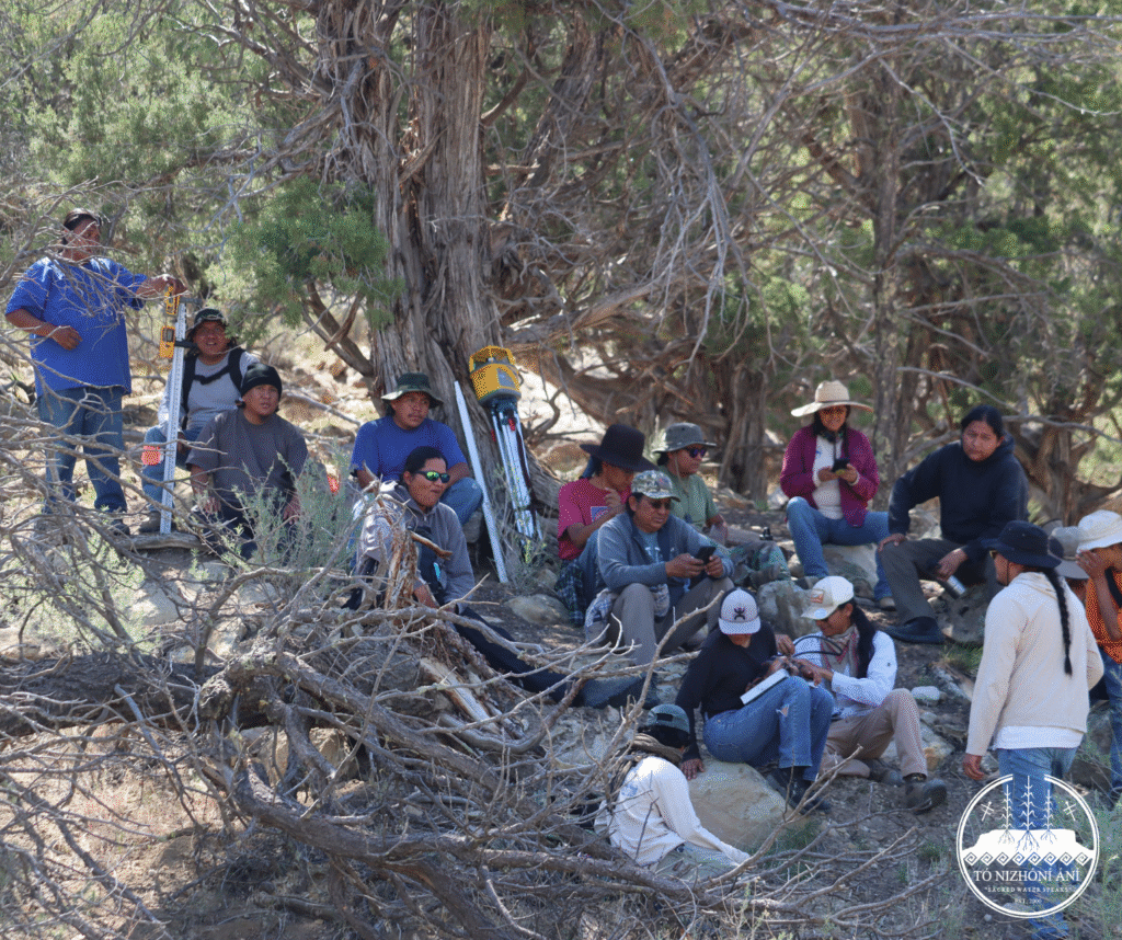
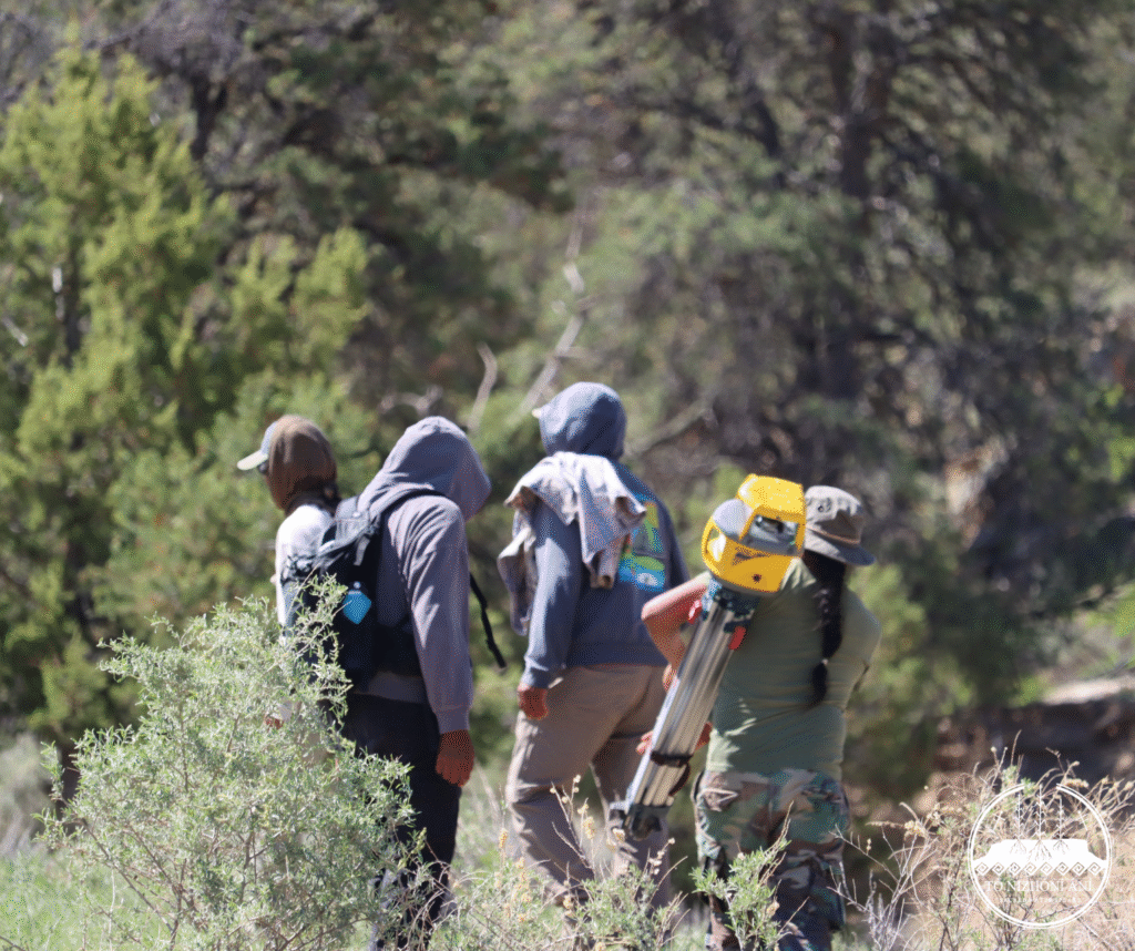
The crew members for TNA’s watershed restoration come from two chapters in the Black Mesa (Dził Yíjiin) region, totaling nine people – five from Hardrock and four from Black Mesa/Kits’iilí. This season, our organization brought on 3 trainees who will be learning from the six veteran crew members who all had their start from our pilot project in 2024.
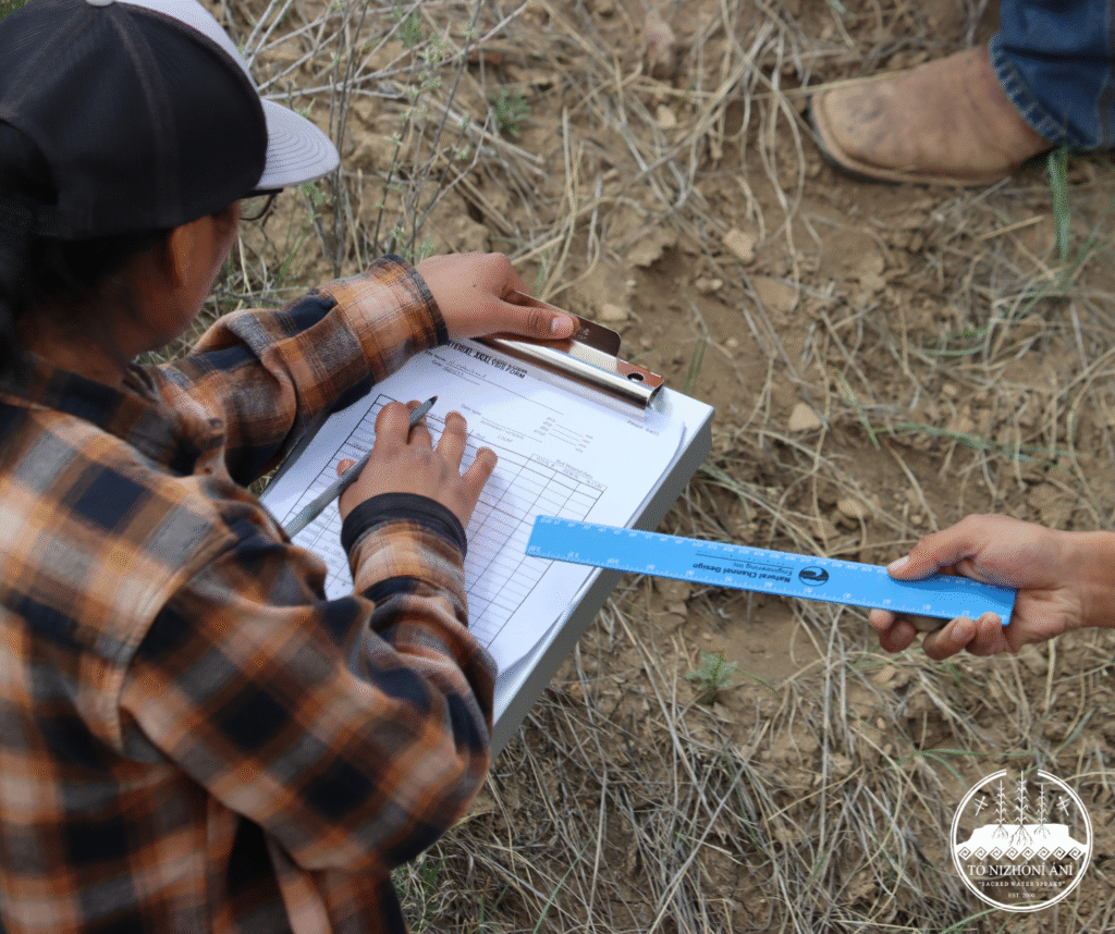
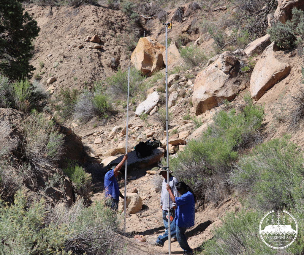
The veteran crew member’s knowledge from the 2024 pilot project allowed for efficient division of survey work among three drainages: slope and longitudinal profile survey, Banks Erosion Hazard Index analysis, Pebble Count and photo surveying/flagging for erosional features like head cuts. All ridgelines required careful survey for material collection in this culturally rich community. The crew flagged out areas to avoid the presence of sensitive cultural resources. The watersheds were surveyed upstream to downstream to get an understanding for the erosional development in the low valley.
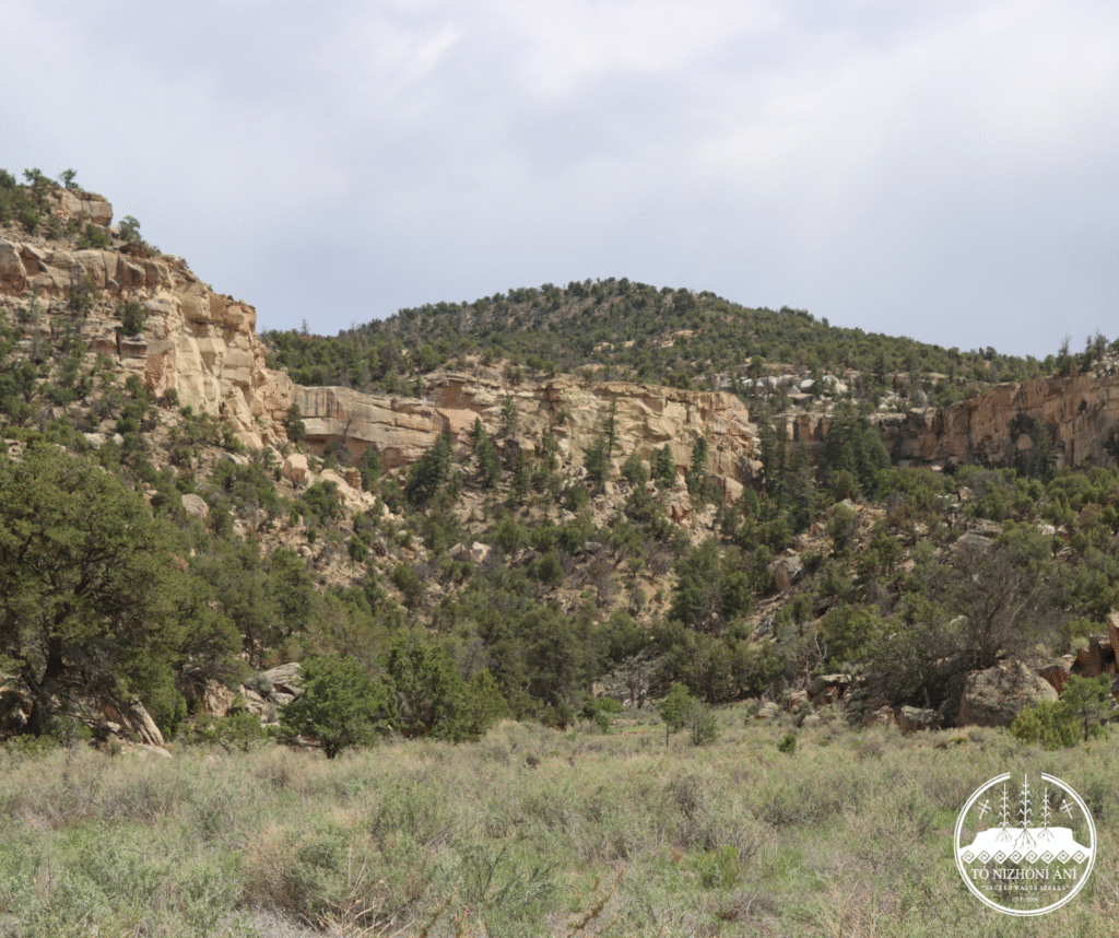
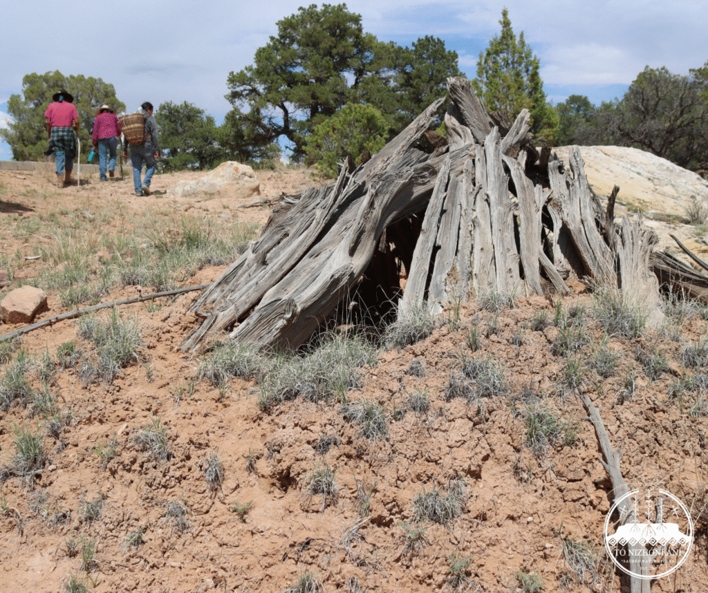
On day two, the crew set off to hike up the high valley of the Niinahnízaad area. The three-mile hike reached an elevation of 7,400 feet. Vulnerable and sensitive ecosystems at the highest elevation of the watershed work will even benefit from overall restoration activities, where moisture at the base of rock cliffs indicates shallow aquifer activity. Getting this wide-view perspective of the landscape is imperative to understanding the landscape and the areas that benefit from this work.
Stay tuned to learn more about the host family, the story behind this watershed restoration project, Diné place names, and how we’re working to bring moisture back to our communities on Black Mesa.